Mapping Armageddon 1945-2045
Out of the nuclear bunker into the fire next time
with Timothy Barney & Bradley Garrett.
Out of the nuclear bunker into the fire next time
with Timothy Barney & Bradley Garrett.
Debra Benita Shaw will interrogate the way that architecture polices bodies and propose techniques for thinking – and living – space differently
A look at war maps in news and media, with a focus on the war in Ukraine.
Presentations from three researchers on how counter-mapping practices can expose how cartography supports programmes of political violence
This talk, by the authors of The Red Atlas: How the Soviet Union Secretly Mapped the World, will explore the Soviet maps of Britain and elsewhere
An online presentation from Keith Lilley on using modern spatial technologies to analyse the cartography of the Western Front
In this webinar we will hear from three leading researchers on how maps are mobilised in conflict.
This seminar at the British Library explores the historical and contemporary links between war making and map making.
Online discussion on the history, archaeology, and ethnography of the Queen Elizabeth Olympic Park site.
Online discussion with authors, historians and academics involved in creating an online map and guide to the history of the Olympic Park site.
Presentation of an incredible schools collaboration project that saw 2216 pupils and 123 teachers explore community through expanded art.
Two socially-engaged graphic artists present creative research practices that explore stories of urban experience through illustrated maps.
A presentation about an archival cartography project that brings to life the intimate stories of hundreds of refugees who fled Nazi persecution.
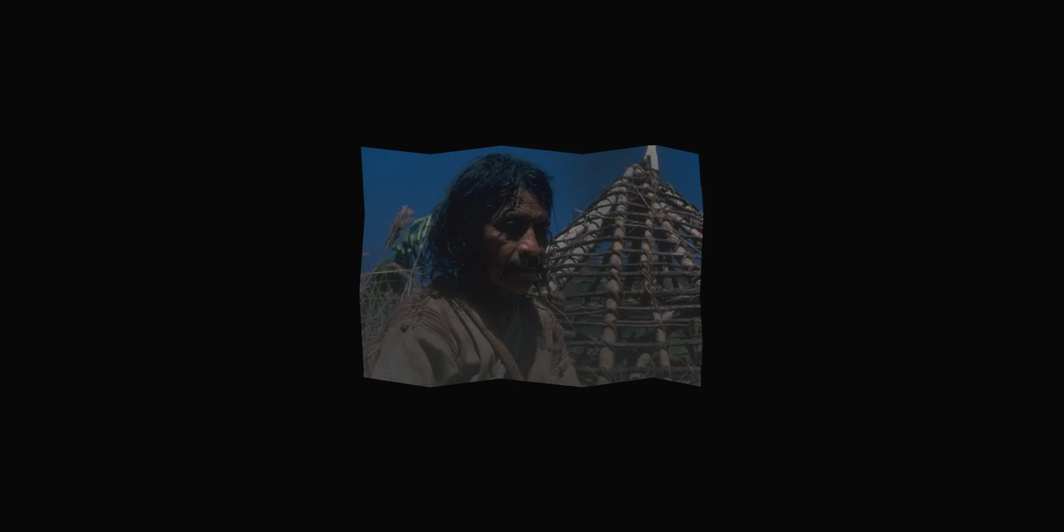
Alan Ereira presents a personal journey into the indigenous cartography of the Kogi people.
In this talk Roger Burrows maps out the emerging subterranean geography of residential basement developments across London post 2008.
Join us for the launch of New Directions in Radical Cartography with a panel discussion on radical mapping as a research practice…
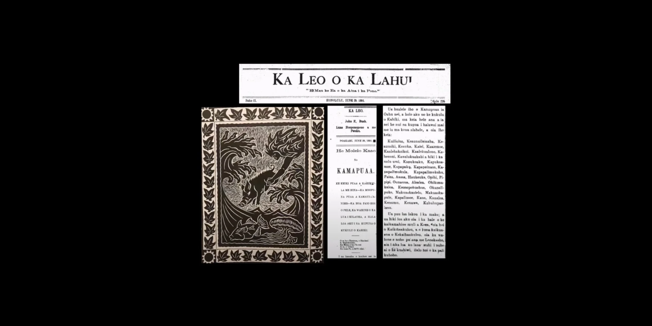
William Bunge Memorial Lecture – Candace Fujikane: Elemental Cartographies & Pilina (Relationalities) of Climate Change
Members of Livingmaps Network discuss participatory mapping projects involving children and young people.
Presentations from researchers engaged with black counter-mapping: historic and current; geographical and artistic.
A conversation between four map-scholars responding to the pervasive spread of cartographic materials and commentaries related to COVID-19.
This is the seventh event in the programme FRONT LINES, BACK YARDS
Dutch artist Jan Rothuizen joins us to discuss his work and lead a map drawing workshop!
This is the sixth event in the programme FRONT LINES, BACK YARDS
– Monthly online events exploring the local frontlines of our multiple crises and drawing on the innovative forms of social and cultural mapping emerging from the backyards created during lockdown.
This event brings together four researchers who walk as part of their creative practice…
This is the fifth event in the programme FRONT LINES, BACK YARDS
– Monthly online events exploring the local frontlines of our multiple crises and drawing on the innovative forms of social and cultural mapping emerging from the backyards created during lockdown.
A discussion about the devastating global effects of wildfires and why cultural perspectives on them matter for understanding climate change.
This is the forth event in the programme FRONT LINES, BACK YARDS
– Monthly online events exploring the local frontlines of our multiple crises and drawing on the innovative forms of social and cultural mapping emerging from the backyards created during lockdown.
This presentation features a social science experiment where citizens train an AI algorithm to design more liveable cities.
This is the third event in the programme FRONT LINES, BACK YARDS
– Monthly online events exploring the local frontlines of our multiple crises and drawing on the innovative forms of social and cultural mapping emerging from the backyards created during lockdown.
This event features contributions from three creative cartographers whose work addresses key issues of civic participation and urban democracy.
With Layla Curtis
Chair: Mike Duggan
Layla Curtis will discuss the research, inspiration and processes behind two of her recent works: Trespass (2015) and The Thames (from London Bridge, Arizona to Sheerness, Canada) (2013) (seen above). In both works Curtis creates a map of a specific location, but uses two different techniques to do so. Layla’s presentation will contribute to the theme of ‘cultural cartographies’ by demonstrating how artistic practices and technologies can lead to novel and ground-up approaches to mapping the experiences and cultures of place.
Curtis’ mobile phone app Trespass provides users with an oral history of Freeman’s Wood; an area of edgeland situated on the outskirts of Lancaster, England that has been used for decades by local people for recreation. The land is currently owned by an offshore property company who recently erected a metal fence around the plot, barring locals from entering under threat of breaking trespass laws. Curtis recorded interviews with members of the local community as they walked with her inside and around Freeman’s Wood, reflecting on the impact the space has had on their lives, and offering their speculations as to what its future might be. Users of Trespass app are invited to walk these same routes, mapped by Curtis using GPS, whilst listening to the audio interviews. However, the app uses geo-fencing technology to restrict access to most of the audio content – access to all thirteen audio tracks is only granted if the listener chooses to trespass, crossing both the physical fence, and the app’s virtual geo-fence, into Freeman’s Wood.
The Thames (from London Bridge, Arizona to Sheerness, Canada) is a collaged map, hand-constructed from fragments of international atlases and nautical charts, reassembled to form the familiar outline of the Thames. The reconfigured map focuses on the etymology of place names along the shores of the river and, through playful placement of place names from elsewhere, also takes us on a historical journey and explores the far-reaching influence of the Thames. Made in ten parts, the collage follows the river for over fifty miles as it flows eastward from London Bridge to the Thames Estuary. It references many notable journeys, ships, events, people and industries whose stories are inextricably intertwined with this stretch of the river.
Speakers:
Layla Curtis is an artist whose practice has a focus on place, landscape and mapping. Her multi-form work examines the attempts we make to chart the earth, how we locate ourselves, navigate space and represent terrain. Curtis’s work features in notable collections including Tate Collection and the Government Art Collection and has been included in exhibitions at Tate Modern, London; Pavilhão Lucas Nogueira Garcez-Oca, São Paulo, Brazil; RMIT, Melbourne, Australia; and Canadian Centre for Architecture, Montréal, Canada. In 2006 she was awarded an Arts Council England International Fellowship to Antarctica and created Polar Wandering, a 27,856 mile long interactive online drawing exhibited in solo shows at New Art Gallery Walsall (2006), and Ormeau Baths Gallery, Belfast (2008). In 2010/11 she travelled to the Borneo rainforest to create Tong Tana, a moving image work made while trekking with nomadic hunter-gathers, subsequently exhibited at Matt’s Gallery, London (2012). Other residencies include those with Art on the Underground, Turner Contemporary and Akiyoshidai International Arts Village, Japan. Layla is also the founder of www.edgework.co.uk – an artist-led, online platform specialising in selling limited edition prints and publications by artists whose practice has a focus on place.
Date:Wednesday 20thJune 2018
Time: 18:00 – 20:00
Venue:The Nash Lecture Theatre, Kings College London, The Strand, WC2R 2LS
(Note: please sign it at reception to receive a visitor pass)
Cost:Tickets £10.00 and £7.50concessions
Venue: The Nash Lecture Theatre, Kings College London, The Strand, London, WC2R 2LS
With Joel Seath and Kelda Lyons
Chair: Mike Duggan
Children have a right to play, as stipulated by the United Nations Convention on the Rights of the Child. Too often, however, tolerance for play is confined to corrals of adult acceptability: designated areas within the urban fabric. The reality of play (that is, play for its own sake, without adult agenda) is that, as urban citizens in their own right, children will play anywhere and everywhere if conditions are conducive for them to do so. Play is an everydayness of being.
Whilst working at an adventure playground in west London, Joel Seathaimed to raise the tolerance and awareness of play, in part by mapping contemporary accounts and observations of play in both destination places and the in-betweens, and by simultaneously gathering historical accounts of local played-places. This anecdotal lived experience of different generations was reflected back in interactions with adult community members.
Drawing on the thinking of writers of urban studies as well as on that of playwork theorists, this seminar aims to give a flavour of the urban palimpsest, as perceived and mapped, in which play that has been still marks, and in which play continues to take place. As societal positioning on the well-being of children continues to shift, this seminar is an on-going call for careful observation, understanding, tolerance, and respect for children’s play, wherever and however that play happens.
Speakers:
Joel is a playworker, playwork trainer, researcher, and writer. With close-to thirty years’ experience, he has worked with and for younger and older children and teenagers in a wide variety of play, early years and youth provisions, in outreach on the city streets, in forests, and at festivals.
Kelda is a playworker, play consultant, writer and researcher with 15 years experience of doing inclusive playwork with children and teenagers. Kelda does independent and original research on playwork and children’s play in public space, and is a Built Environment Expert with Design Council CABE.
Date: Tuesday 15th May 2018
Time: 18:00 – 20:00
Venue: Room 3.52, Waterloo Campus, Franklin-Wilken Building (FWB), 127 Stamford St, Lambeth, London SE1 8WA (Note: A member of the team will be waiting to sign you in at reception)
Cost: Tickets £10.00 and £7.50 concessions
Tickets available via Eventbrite
During the Cold War the Soviet Union carried out a cartographic project of unprecedented scale and ambition – the detailed mapping of the entire world. Not only strategically vital ports and industrial centres, but cities, small towns and rural areas alike, however unimportant, were plotted and recorded. The Soviet compilers developed a set of standard conventions, symbols and colours for the maps which ensured consistency across the world and enabled a map user to instantly interpret the landscape depicted. This included, for example, annotation which quantified the characteristics of bridges, highways, rivers and forests.
Exploring the relationship between cartography and cinematography
In his recent book ‘Cartographic Cinema’ Tom Conley claims that the language of cinema and map converge in creating a mimetic effect, conjuring up an imaginary correspondence between reality and its graphic representation through similar devices. At the same time he argues that while ‘a map underlines what a film is, it also opens up a rift or brings into view a site where a critical and interpretive relation with the film can begin’.
In this programme, a collaboration between Passengerfilms and Livingmaps Network, we are setting out to explore the limits and conditions of that critical space with a panel who are as enthusiastic about movies as they are about maps. The evening will open with some illustrative intersections between story, place, journey, map and movie, and a short panel discussion engaging with Tom Conley’s arguments. After a break this will be followed by a screening of the feature film ‘Lion’ based on the autobiographical story by Saroo Brierley of his journey of remembering and self-discovery.
Phil Cohen is research director of LivingMaps, and many years ago wrote film criticism for Cambridge Review and initiated the Cambridge Documentary Film Festival. He will be leading the #LDNSHOKCTY salon event at the Museum of London later this year which will use interactive workshop situations and time-based media to create a ‘popup museum of the future’ which interrogates the pasts of London’s future and the future of Londons past.
Katherine Stansfeld is a postgraduate researcher whose work focuses on mapping vernacular geographies in places of super-diversity, exploring how, in the context of ‘super-diversity’ and multicultural London, the ‘vernacular geographies’ of different people represent both cultural complexity and shared spaces of encounter and civic culture. Katherine is based at Royal Holloway and is also of PASSENGERFILMS… ‘The car-crash of cinema and geography’.
John Wallett is design director of Livingmaps and a founder member of the East Anglian popup cinema project ‘Moving Image’. He is currently working with the Science Museum Group and Aura Films on a film / ethnography project about exploring deep archives, and will be part of the Livingmaps team delivering the #LDNSHOKCTY salon event at the Museum of London later this year.
This event is jointly curated by PASSENGERFILMS and Livingmaps Network and is hosted by the Development Planning Unit at UCL
Tickets: £10 / £5. Book online now through Eventbrite