
YOUNG CitizenS atlas (YCA)
This project is being developed as an online platform providing a freely accessible toolkit of resources which teachers and youth workers can download and use for map making projects with children and young people around a set of urban and environmental issues of direct concern to them. The platform includes a curated exhibition space in which the work produced can be uploaded and displayed. The Atlas will be built up over time from work produced in classrooms and youth projects across the country and expand as more agencies participate. It will thus provide an evolving framework in which children’s and young people’s visions and versions of the city and the environment can be better represented and where fundamental questions can be asked about the future post-pandemic world into which they are growing up.
-
The Young Citizens Atlas is designed for a range of abilities, age groups and educational settings. Most of the material is designed for 8-14 year olds. It will enrich the secondary curriculum in Geography, Art and Design, Social and Media Studies, Urban and Environmental Studies, Health and Wellbeing programmes. And it can be adapted to the more informal circumstances of the youth centre. Participation requires a minimum of technical resources, access to computers and a colour printer, and the usual equipment found in schools and youth centres. The map making and outside field work can be undertaken in small, socially distanced, groups.
In co-creating the Young Citizen’s Atlas students will develop a range of creative, narrative, and interpretive skills ; they will gain confidence in sharing experiences and learning to listen, appreciate and respect where other children and young people are coming from in relation to issues of personal safety and danger, place identity and belonging, the impact of lockdown,and the environmental crisis. Finally it will provide an opportunity for students to make connections between their own local experiences and wider issues of urban and environmental policy.
-
Our team will initially offer online consultation and training to help teachers and youth workers to design bespoke projects using our toolkit to meet their particular needs and circumstances. Where practicable this will be supplemented by site visits. Mapping artists will be available to work alongside teachers in the classroom if required. School and youth project staff will be encouraged to share and evaluate their experiences with the toolkit through an online forum.
The completed mapworks and other related material will be uploaded into a dedicated slot in a specially curated exhibition space on the Livingmaps website. In addition to online dissemination, schools and youth centres will be supported in arranging local live exhibitions of their work. Living Maps will also organise a programme of online events in which a panel of urbanists, environmentalists, educationalists, and town planners discuss the mapworks and draw out the implications for developing new approaches to the child- and youth-friendly city.


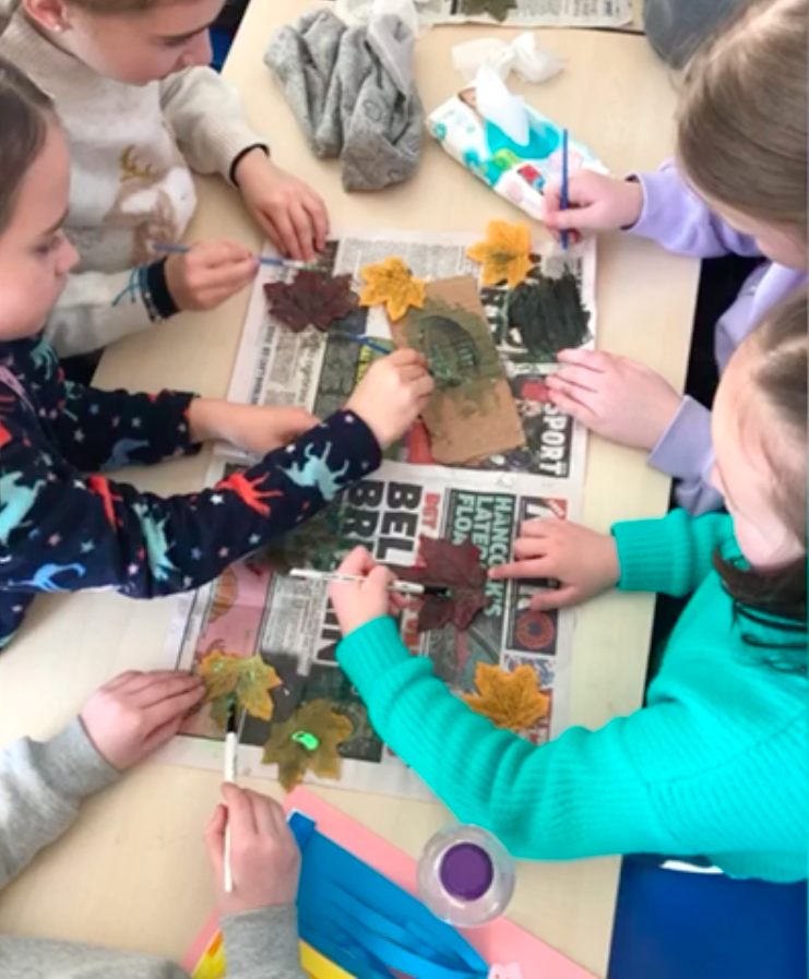
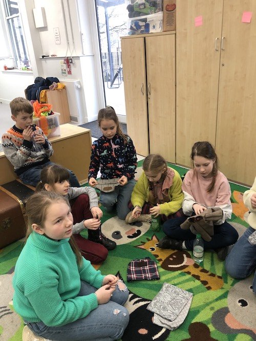
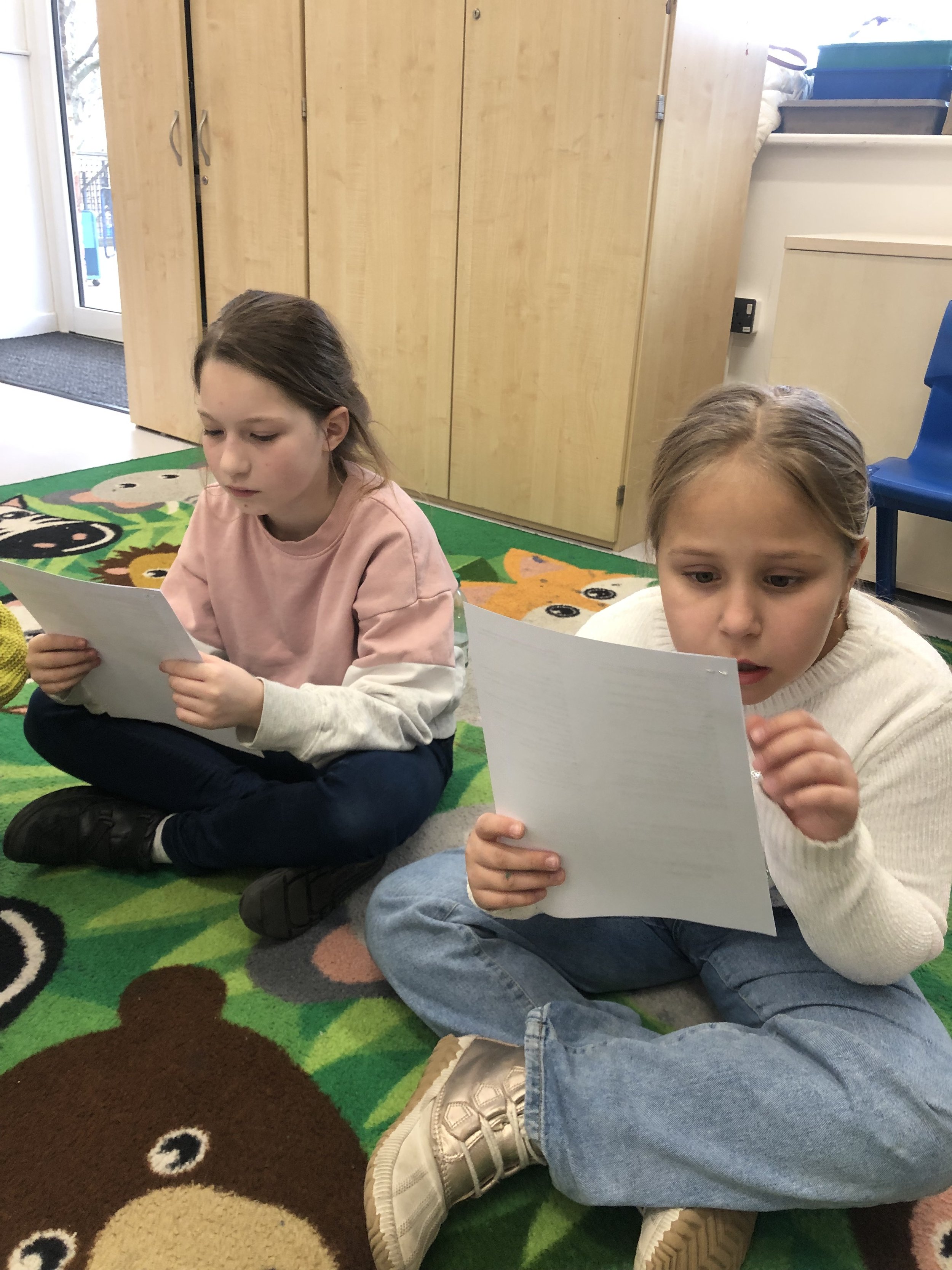
A YCA workshop at Hackney Quest Youth Centre

Every Dog is a Lion in its Home
Personal geographies of place, identity and belonging within London’s Ukrainian communities: A participatory mapping project by Livingmaps Network, in association with Pushkin House.
-
• A cartographic Guide to Ukrainian London in a digital downloadable format will be hosted online on a dedicated platform within the Livingmaps website. A limited number of print copies will also be available at the Pushkin Centre.
• An exhibition featuring the memoryscapes produced in Workshop 1.
The mapworks from Workshop 3 will be exhibited at the Pushkin Centre• The Travelling Stories puppet play will be performed at St Mary’s School, with the possibility of further performances at a number of Ukrainian community centres in London.
• A video with English subtitles on the Livingmaps website.
• An evaluative project report drawing on audio-visual documentation of the workshops published online.
• A one day conference on working through trauma with displaced people using arts based methods of counter mapping. This event will be hosted by the Pushkin Centre as part of the ‘Frontline Cartographies’ programme.
-
There is a Ukrainian saying ‘Every Dog is a Lion in its own home’ and both the armed forces and civilian population of the Ukraine have lived up to this proverb in their response to the brutal invasion by Putin’s war machine. Under these conditions the sense of home and belonging becomes a collective experience; it embraces not just where you live, your personal space, and immediate neighbourhood, but your town or city, and the country as a whole, which becomes, in a very material sense, your homeland.
This is a war which is both intensely local and global in its geopolitical implications. So many thousands of personal tragedies, each an incremental index of a war crime which demands international justice but which requires the minute mapping and sifting of evidence on the ground: an archaeology of small things tracing an enormous violation of human rights. Meanwhile for those who have been forced to flee for their lives, and are now engaged in tortuous and often hazardous journeys to relative safety, it is vital to they cling on to whatever possessions and images they have managed to salvage from the wreckage. These portable homing devices constitute living maps which will be critical in enabling them to deal with the trauma of having the front lines of war smash into their back yards.
At the same time, for the hundreds of thousands who form the long-established Ukrainian diaspora spread across Europe, (including the UK, and who often still have family and friends in the combat zones, this is an agonising moment. They watch from afar the scenes of devastation portrayed on social media or TV, in which places they knew and loved have become unrecognisable ruins; they look at the maps which display the disposition of the Russian forces without for a moment dispelling the fog of war on the ground and try to reconcile them with lived memories of their homeland.
These mediated images, however sympathetic in intent, tend to only show Ukrainians as victims or heroes of the war. Inevitably they ignore the dense textures of everyday life which invest particular homes, streets, buildings, neighbourhoods, gardens and fields with both personal and shared meaning and which constitute vivid and enduring memoryscapes both for those who remain and those who are forced to leave. At the same time the Ukrainian diasporic community has created its own homes from home and this rich social and cultural ecology needs to be mapped as an important source of information and orientation for new arrivals. In this project we will address both these dimensions through a programme of workshops and linked activities.
Project Summary
The Livingmaps team will work with groups of Ukrainians now established in London, both adults and children. The aim is to provide a platform from which participants can use a variety of media to co-create a space and form of collective representation of their situation which is also of benefit to new arrivants. The work produced will be hosted on the Livingmaps website, so that is available to a wider public, as well as being disseminated through Ukrainian community organisations.
Workshop 1 : Homing Devices. Leader: Jina Lee

Designed for adults and children as a family friendly workshop, this workshop is to create a multi-modal map drawing on their experiences of making a new home for themselves in different parts of UK. The participants will explore their memoryscapes of growing up and living in Ukraine by comparing their current place. The workshops are divided into two sessions, including clay modelling and the map drawing method called TalkingMap. The two sessions will last 1 hour each with a break. The mapworks will be used to introduce those newly arrived in the UK to already established Ukrainian communities and help develop links between the two groups. Individual maps will be collected and incorporated into a large map, which will be exhibited at the end of 2023. If you would like to host this workshop online, please contact, info@livingmaps.org.uk
Workshop 2: Travelling Stories. Leader: Natalia Baryshovets

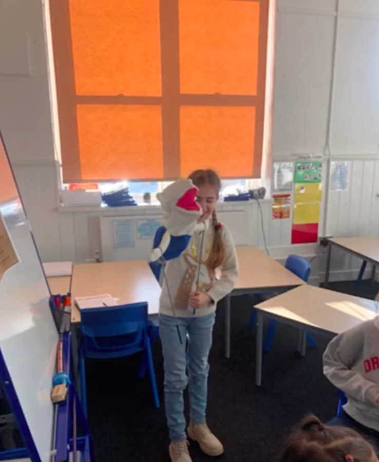
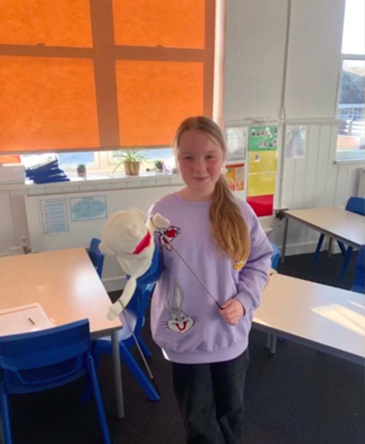
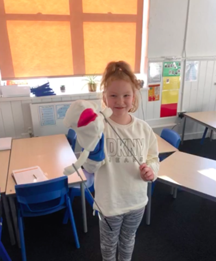
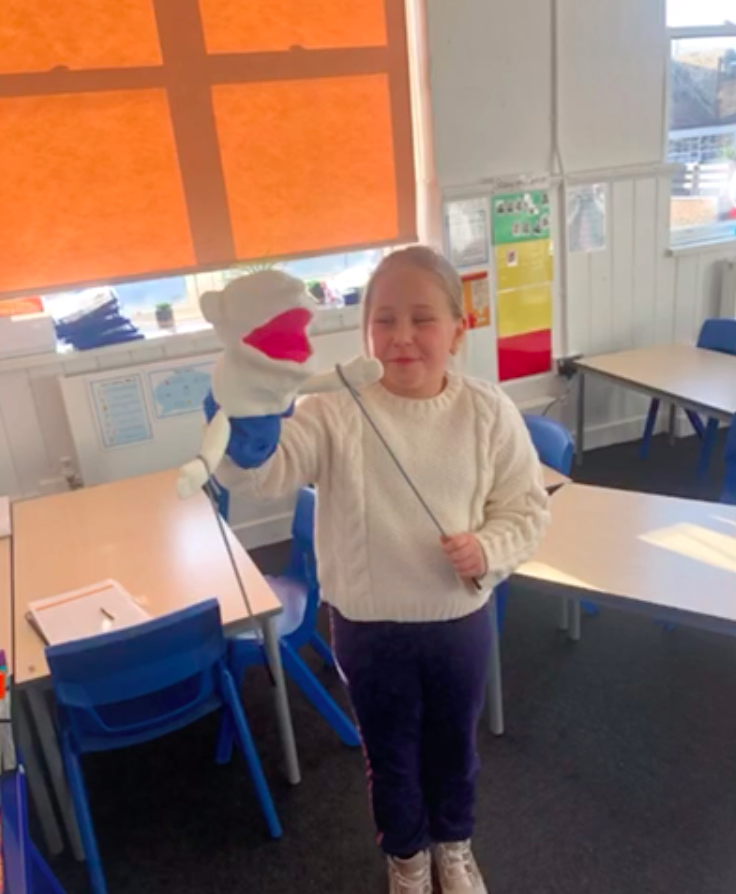
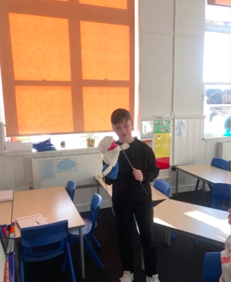
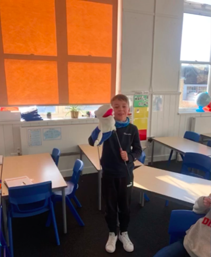
A children’s’ group from a Ukrainian Saturday School in West London will take part in a puppet making and storytelling project, drawing on themes of journeying, home making and displacement from popular Ukrainian folk tales to co--create a play to be performed at Easter. The ten sessions will last 45 minutes each.
Workshop 3: Trails, tracks and traces. Leaders: Debbie Kent & Alisa Oleva
This workshop is designed to explore creative mapmaking in the city, finding ways to chart personal landmarks and map experiences of sights, sounds, smells, textures and memories of place. It will take place in three sessions at Pushkin House, a cultural centre supporting refugees from both Russia and the Ukraine located in Central London. Participants will be recruited from adults involved in the other workshops who are interested in developing their creative skills to add more layers of information to their map making.
GROUNDBREAKERS
An immersive VR trail, online map and guidebook telling the backstory of the Queen Elizabeth Olympic Park site from the Bronze Age to the Digital Age, with trail signage mounted at various locations in the Park.

Developed by Livingmaps Network in partnership with Hyperactive Developments and Queen Elizabeth Olympic Park with grants from the Heritage Lottery Fund, the Foundation for Future London and the Raphael Samuel History Centre. Dedicated to the past, present and future makers of the Park, and to the host communities and volunteers whose generosity made the 2012 Games such a memorable occasion.
-
The original idea emerged from research carried out by staff at the University of East London into the impact of the 2012 Olympics on its local host communities in East London.
It became clear from the many interviews carried out before, during and after the event, that many people, whilst they mostly welcomed the Games, were concerned that their local history would be erased along with the housing, workplaces and other amenities that previously existed on the site. In response we decided to put together a trail that would explore the rich heritage of the site from the earliest recorded times until the present.
We succeeded in getting a grant from the Heritage Lottery Fund for this purpose, but unfortunately before we could begin work, the University of East London decided to close down the Heritage Studies Department where the project was to be based. The project grant was then transferred to The Building Exploratory, a community based organisation concerned with environmental education. Work involving their volunteers and local schools was begun in September 2018 but before it could be completed this organisation went into liquidation and so the project came to an abrupt halt. The Livingmaps Network, which had been involved from the very outset, then took over what was left of the original grant and in partnership with Hyperactive Developments, and with additional financial support from the Foundation for Future London and Queen Elizabeth Olympic Park has now brought the project to completion in its present multimedia format with an online story map, downloadable guidebook and a Virtual Reality trail focussing on nine heritage hot spots in the park. The trail, map, guidebook and teaching resources were launched on 1st June, 2022 at a press launch hosted by the Park with various walks and talks organised throughout Newham Heritage Month.

-
Coastal towns have come to the fore in recent UK policy debates as some of the most deprived neighbourhoods are now in coastal areas. These debates often raise concerns about the future of young people in these towns, largely because of the limited educational and employment opportunities in these communities. In partnership with the Institute for global Youth Studies at UCL, Livingmaps will be running two mapping workshops in each of the six towns chosen for the study. One workshop is designed for 10 young people aged 15-20 , and the other with 40+ , who have grown up in the area in an earlier period. For further information please contact the Livingmaps Network research director: pcohen763@hotmail.co.uk